

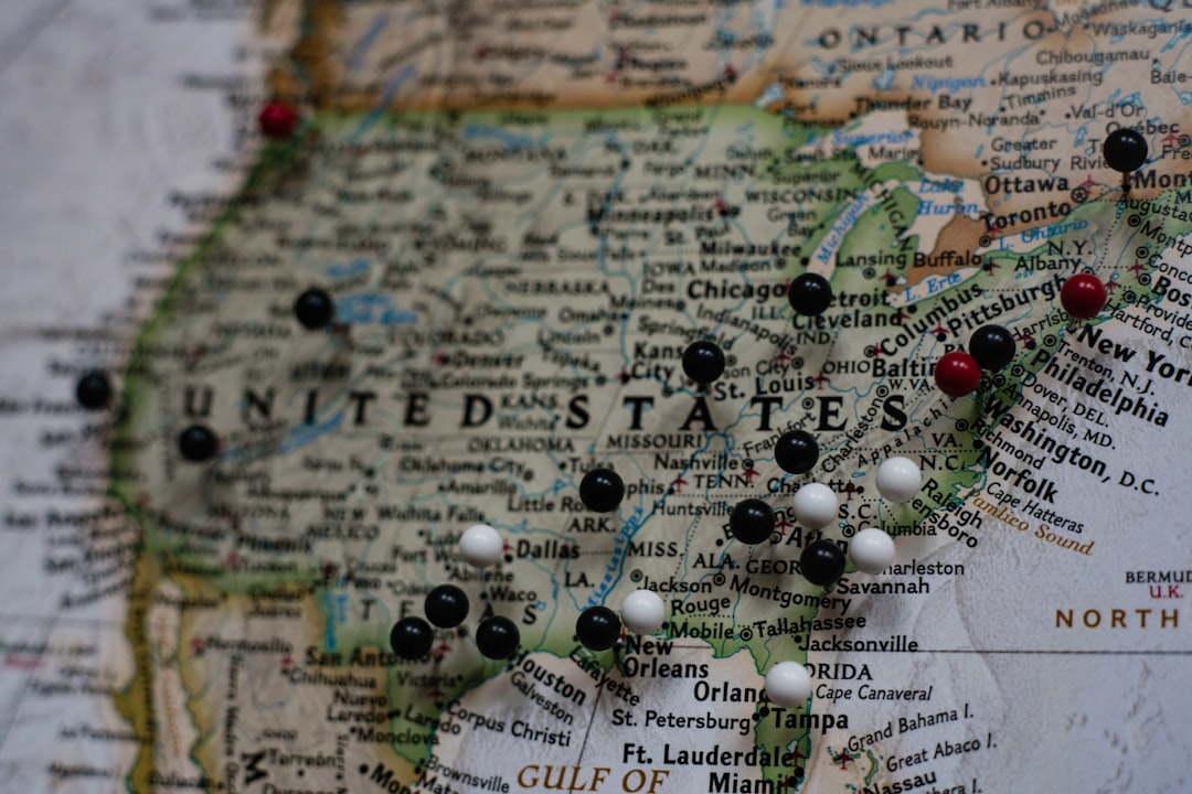
Why the USA Map Is More Than Just Lines on Paper
A usa map is one of the most searched geographic references online — and for good reason. The United States is a massive, complex country spanning an entire continent, and understanding its layout helps with everything from travel planning to school projects to following the news.
Here’s a quick snapshot of what a USA map shows:
| Feature | Key Detail |
|---|---|
| Total Area | 3,794,100 sq mi (9,826,675 km²) |
| Number of States | 50 states + Washington, D.C. |
| Borders | Canada (north), Mexico (south) |
| Coastlines | Atlantic Ocean, Pacific Ocean, Gulf of Mexico |
| Highest Point | Denali, Alaska (20,310 ft) |
| Lowest Point | Badwater Basin, Death Valley (-282 ft) |
| Geographic Center | Lebanon, Kansas (contiguous US) |
| Time Zones | 6 main zones (9 total including AK and HI) |
The US stretches from the Atlantic to the Pacific, includes non-contiguous states like Alaska and Hawaii, and governs five major island territories on top of its 50 states. That’s a lot of ground to cover.
I’m Faisal S. Chughtai, a digital strategist and founder of ActiveX, with years of experience researching and presenting geographic and informational content — including deep dives into the usa map for educational and digital audiences. In this guide, I’ll walk you through everything you need to know, from physical features to regional breakdowns.

Usa map glossary:
USA Map: Geographical Overview and Key Facts
When we look at a usa map, we are looking at the third-largest country in the world by land area. Covering approximately 3,794,100 square miles (9,826,675 km²), the United States is a federal republic that dominates the central portion of the North American continent. To understand its scale, consider that the distance from the Atlantic coast to the Pacific coast is nearly 3,000 miles.

Location and Coordinates
The United States is situated between Canada to the north and Mexico to the south. Its central geographic coordinates for the contiguous states are roughly 39.9° N latitude and 98.6° W longitude. However, the “full” map includes Alaska, located in the far northwest of the continent, and Hawaii, an archipelago in the central Pacific Ocean.
Borders and Coastlines
The U.S. shares two of the longest international borders in the world:
- Canada Border: Spanning the north, 13 U.S. states share a border with our northern neighbor.
- Mexico Border: To the south, 4 states (California, Arizona, New Mexico, and Texas) share a border with Mexico.
One of the most striking features of a usa map is its extensive coastline. Out of the 50 states, 30 have coastlines along the Atlantic Ocean, Pacific Ocean, or the Gulf of Mexico. Interestingly, Alaska has the longest coastline of any state—in fact, its coastline is longer than all the other states’ coastlines combined!
For those who need a high-quality reference for study or work, the Original General Reference Printable Map provided by the USGS is an excellent public domain resource.
The 50 States and Regional Divisions
The United States is a union of 50 distinct states, plus the federal district of Washington, D.C., which serves as the nation’s capital. When we view a usa map, it is often divided into four or five primary regions, each with its own unique culture, climate, and geography.
The Primary Regions
- The Northeast: Known for its historical significance and dense population centers like New York City and Boston. It includes states like Maine, New York, and Pennsylvania.
- The Midwest: Often called “America’s Breadbasket,” this region is famous for its vast plains and the Great Lakes. Key states include Illinois, Ohio, and Michigan.
- The South: Stretching from the Atlantic coast to Texas, this region is known for its warm climate and diverse cultural heritage. It includes Florida, Georgia, and Tennessee.
- The West: The largest and most geographically diverse region, featuring the Rocky Mountains, the Pacific coast, and the deserts of the Southwest. This includes California, Washington, and the non-contiguous states of Alaska and Hawaii.
Comparing the Extremes
On a usa map, size can be deceiving due to map projections. However, the statistics tell a clear story:
| Category | State | Data |
|---|---|---|
| Largest State (Area) | Alaska | 665,384 sq mi |
| Smallest State (Area) | Rhode Island | 1,214 sq mi |
| Most Populous State | California | ~39 million residents |
| Least Populous State | Wyoming | ~580,000 residents |
Navigating the Political USA Map
A political usa map focuses on human-made boundaries. It displays state borders, state capitals (like Albany, NY or Austin, TX), and major metropolitan hubs. Most official maps use the Albers Equal Area Conic projection, which helps minimize the distortion of shapes and sizes across such a wide area.
For those who want to get hands-on with geography, tools like the MapChart mobile app allow you to color-code states, create legends, and design your own custom visualizations for presentations or personal projects.
Physical Features: Mountains, Rivers, and Landmarks
If you strip away the state lines, the usa map reveals a stunning landscape of natural wonders. The physical geography of the U.S. is defined by massive mountain ranges, sprawling river systems, and unique geological formations.
The Great Mountain Ranges
- The Rocky Mountains: Stretching from Canada down through the Western U.S., the Rockies are the “backbone” of the continent. They contain the Continental Divide, a hydrological line that determines whether water flows toward the Pacific or the Atlantic Ocean.
- The Appalachian Mountains: Located in the East, these are much older and more rounded than the Rockies. Historically, they acted as a significant barrier to early westward expansion.
- The Sierra Nevada and Cascade Ranges: Found further west, these ranges house iconic peaks like Mount Rainier and the tallest mountain in the contiguous U.S., Mount Whitney (14,505 ft).
Major Waterways
The U.S. is home to some of the world’s most vital freshwater systems:
- The Mississippi-Missouri River System: This is the longest river system in North America, draining a massive portion of the country’s interior.
- The Great Lakes: Superior, Michigan, Huron, Erie, and Ontario form the largest group of freshwater lakes on Earth. There is enough water in these lakes to flood the entire lower 48 states in five feet of water!
- The Colorado River: Famous for carving the Grand Canyon, this river is a lifeblood for the arid Southwest.
Geographic Extremes
On any physical usa map, two points stand out:
- Highest Point: Denali in Alaska, reaching 20,310 feet.
- Lowest Point: Badwater Basin in Death Valley, California, sitting at 282 feet below sea level.
Natural Resources, Hazards, and Climate Zones
The United States’ vast size means it experiences almost every type of climate imaginable. This diversity is clearly visible on a climate-focused usa map, which helps us understand where certain resources are found and where natural hazards are most likely to occur.
Diverse Climate Zones
- Arctic/Subarctic: Found in Alaska, characterized by long, cold winters.
- Humid Subtropical: The Southeast U.S., known for hot, humid summers and mild winters.
- Mediterranean: Coastal California, featuring dry summers and rainy winters.
- Arid/Desert: The Southwest, including the Sonoran and Chihuahuan deserts.
- Marine West Coast: The lush, rainy Pacific Northwest.
Natural Resources and Land Use
The U.S. is incredibly rich in natural resources, which has fueled its economic growth. Key resources include:
- Fossil Fuels: Large deposits of coal, petroleum, and natural gas.
- Minerals: Copper, gold, iron, and phosphates.
- Timber: Vast forests in the Pacific Northwest and the Southeast.
- Agriculture: The Great Plains are world-renowned for wheat and corn production.
Environmental Hazards
Geography also dictates the risks residents face. The usa map of hazards shows that:
- Hurricanes primarily threaten the Gulf and Atlantic coasts.
- Tornadoes are most frequent in “Tornado Alley” in the Midwest and South.
- Earthquakes and Volcanoes are more common along the West Coast and Alaska due to tectonic plate boundaries.
- Wildfires are a recurring concern in the dry Western states.
For a detailed look at how these features are distributed, the Source Map from CIA provides a comprehensive political and geographic overview.
Essential Geographic Data and FAQ
Understanding the usa map also requires knowing a few “hidden” facts that aren’t always obvious at first glance. For instance, did you know that 27 U.S. states are completely landlocked, meaning they have no direct access to an ocean or gulf?
Time Zones and Centers
The U.S. spans a massive range of longitudes, requiring 9 time zones in total (6 for the main states and 3 for territories). For the contiguous U.S., the main zones are Eastern, Central, Mountain, and Pacific.
The geographic center of the contiguous United States is located near Lebanon, Kansas. However, if you include Alaska and Hawaii, the center shifts to a point near Belle Fourche, South Dakota.
Defining the Borders
State borders weren’t just drawn randomly. They were shaped by:
- Natural Features: Many borders follow the path of rivers (like the Mississippi or Rio Grande) or mountain ridges.
- Historical Treaties: Agreements with Great Britain, France, Spain, and Mexico defined the outer limits of the nation.
- Colonial Charters: Many Eastern state lines date back to original land grants from the 1600s and 1700s.
Frequently Asked Questions about the USA Map
1. Where is the geographic center of the contiguous United States? The center of the “Lower 48” states is located near Lebanon, Kansas. A small monument marks the spot, which has become a popular destination for geography buffs.
2. How many US states share a border with Canada and Mexico? There are 13 states that share a border with Canada (including Alaska and several states that share water borders in the Great Lakes). Only 4 states share a land border with Mexico: California, Arizona, New Mexico, and Texas.
3. What are the highest and lowest points in the United States? The highest point is Denali (formerly Mt. McKinley) in Alaska at 20,310 feet. The lowest point is Badwater Basin in Death Valley, California, at 282 feet below sea level. Interestingly, these two extremes are both located in the Western region of the U.S.
4. Is Washington D.C. a state? No, Washington D.C. is a federal district. It serves as the seat of the U.S. government and is not part of any state, though it has its own local government.
Conclusion
From the frozen tundras of Alaska to the tropical beaches of Florida, the usa map represents a nation of incredible variety. Whether you are studying the political boundaries of the 50 states, the rugged peaks of the Rocky Mountains, or the complex climate zones that dictate our weather, having a clear understanding of U.S. geography is essential.
At Apex Observer News, we strive to bring you the most accurate and up-to-date information on the topics that matter most. Geography isn’t just about maps; it’s about understanding the world we live in and how it shapes our daily lives. For more insights into international events and geographic trends, be sure to check out our Latest Global News.
We hope this guide has helped you navigate the complexities of the American landscape. The next time you look at a usa map, every line and feature tells a story of history, nature, and the people who call this land home.